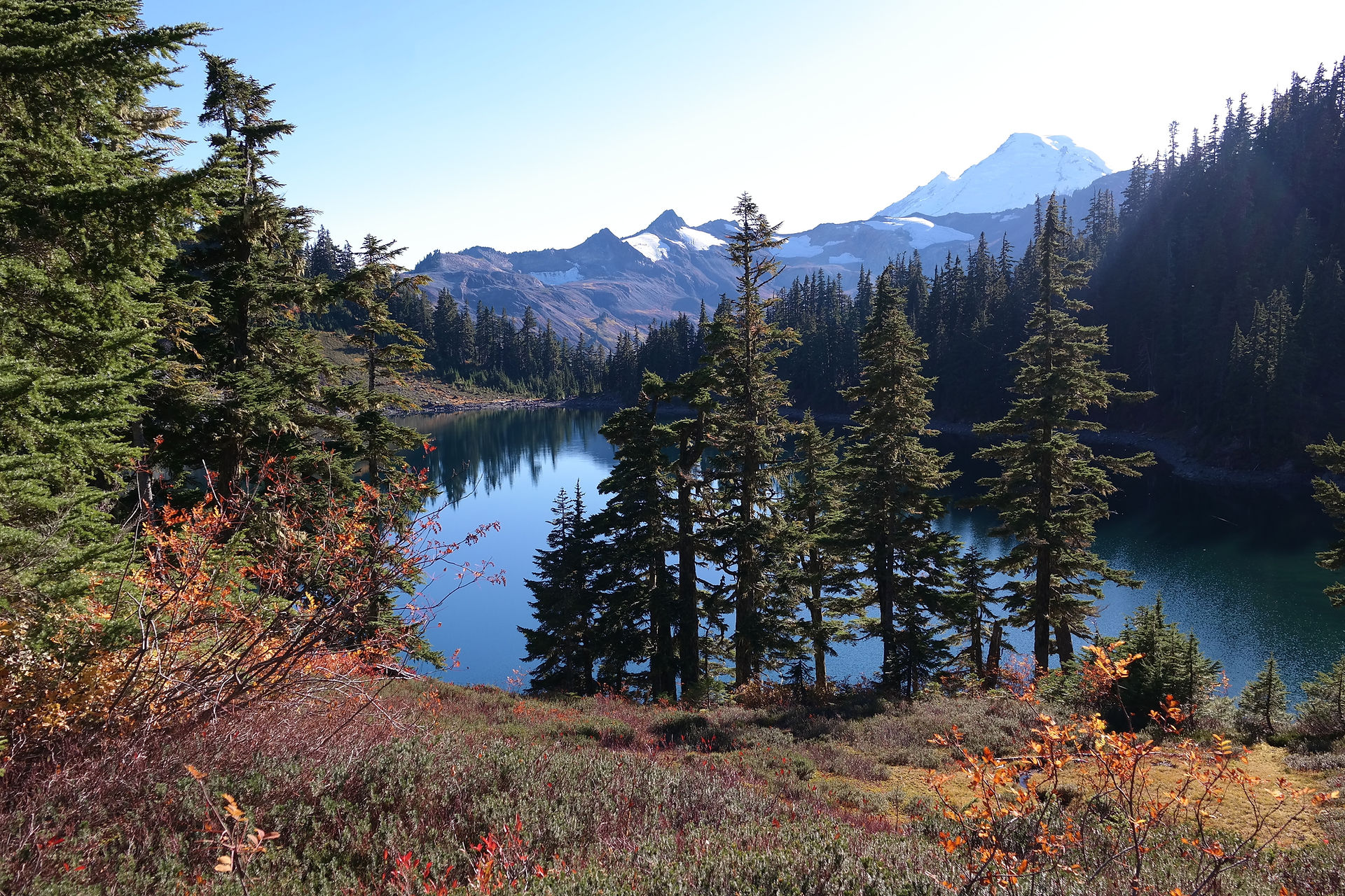
Spanish Lake Trail
Difficulty Rating: MORE DIFFICULT
For experienced drivers, pickups not recommended. Spanish Lake is 3.5 miles; 4 hour driving time to wilderness boundary.
Directions to Route:
-
To locate the beginning of the Spanish OHV Route, follow the McKinley Grove Road east from Dinkey Crook for approximately 17 miles to Wishon Dam.
-
About 2.5 miles beyond the dam, turn right at the sign to Crown Valley Trailhead and Spanish Lake OHV Route, continuing for 1.5 miles.
-
The route is on the left a short distance beyond Rancheria Creek.
The Route:
This is an easy route for experienced drivers and a challenge for beginning drivers. The route encompasses loose dirt, some granite, a few rocks, and a little uphill. This is not recommended for van type 4WD vehicles or full-size pickups due to some tight maneuvering between trees about 3/4 of a mile before the route ends at the wilderness boundary.
Approaching a small tributary of Rancheria Creek, a small meadow is noticeable. Tread lightly and stay on the designated route to keep the meadow free of unsightly wheel tracks. Across the creek, driving challenges begin with tight turns around both standing and downed trees.
The route shows its challenge as it becomes steep and rocky. Next will be a very steep ascent with an outward slope. At the top, the route turns left and levels off. A succession of very steep and rocky uphill climbs follows. In some spots, the grade reaches 50 percent.
As the route gains elevation, the red fir trees mask a scenic view. At the top of Long Meadow Ridge, the route makes a sharp left turn and crosses a short stretch of level ground. Park at the turn and walk 50 yards west, to view he North Fork of the Kings River. Black Rock Reservoir and the San Joaquin Valley can be seen on a clear day.
The road continues, winding past small picturesque meadows making its way to the ridge between Staturn and Garlic Meadows. There are several campsites with fantastic views of the Rancheria Creek watershed and prominent features such as Finger Rock and Crown Peak. The treeless peaks in the John Muir Wilderness form the skyline.
The Spanish OHV Route ends in a saddle at the boundary of the John Muir Wilderness. No motorized vehicles or mechanical devices are permitted beyond this point. Park vehicles here and hike to the Spanish Lakes or explore Garlic Meadow.
Take the steep descent to the northeast to reach Little Spanish Lake, one-quarter mile beyond the steep, rocky stretch. Big Spanish Lake is a half mile further. A Wilderness Permit is required for staying overnight at the lakes. Free permits are available from the Shaver Lake or Dinkey Creek offices.
Camping tips:
There is no camping within 100 feet from lakes, streams, trails and meadows. Campfire permits are free and available at your local Forest Service office. A campfire permit is required for: wood fires, charcoal fires or portable gas stoves.
If you pack it in, please pack it out. Keep your forest clean and green.

