Swamp Lake Trail
![resized_Trailhead_South_2[1].JPG](https://static.wixstatic.com/media/bb31ac_167179aad0744c6bad857d601bf23623~mv2.jpg/v1/crop/x_141,y_0,w_1138,h_810/fill/w_302,h_213,al_c,q_80,usm_0.66_1.00_0.01,enc_avif,quality_auto/resized_Trailhead_South_2%5B1%5D_JPG.jpg)
Difficulty Rating: MOST DIFFICULT
For experienced drivers. Long wheel base vehicles recommended only, from Exchequer Meadow to Hatch Lake trail junction.
The Swamp Lake OHV Route may be reached from either Willow Meadow or Exchequer Meadow. This description starts at the east near Exchequer Meadow and ends near Willow Meadow west of Dinkey Creek.
From the west:
Willow Meadow/Trailhead to Swamp Lake: 4.5 miles, 3 hours driving time.
From the east:
Exchequer Meadow to Swamp Lake: 9 miles, 4.5 hours driving time.
Directions to Route:
-
From Dinkey Creek Ranger Station, go south 300 yards and turn left onto McKinley Grove Road.
-
Travel 2.5 miles to the "Swamp Lake Vehicle Way" sign on the right.
-
Follow this graded, oil and gravel road for three miles.
-
At the fork, turn left and drive 1.1 miles until it forks again.
-
Again take the left fork for 0.8 miles to the trailhead gate on the right.
The Route:
The route is a low standard logging road for the first mile, and then deteriorates into a four wheel drive road as it climbs higher up the mountain.
There are stretches that are rough for trail bikes, negotiating over and around numerous large boulders. Traveling in 4WD and granny gear, now vistas begin to appear through the trees. The awesome canyons of the Kings River can be seen to the south. To the east across Ruby Creek, the imposing, blocky, granite summit of 10,218 foot Nelson Mountain dominates the scene.
At the 5.5 mile mark there are two small campsites and the hiking trail to Hatch Lake. Near one of the campsites is a small spring of water which supports a natural garden of wildflowers. Start at the campsite on the south side of the OHV route for an easy, 20 minute hike to Hatch Lake. The fishing at Hatch Lake is surprisingly good because only a few people take the time or effort to hike.
Beyond the trail to Hatch Lake, the route climbs a few steep switchbacks and tops a 9,300 foot ridge revealing the headwaters of Dinky Creek. Once across the pass, clear views of the LeConte Divide and 13,568 foot Mt. Goddard define the distant horizon. The road switch backs down the shaded north side of the ridge, dropping 600 feet in elevation in about a mile.
After crossing a fork of Dinkey Creek, take the route to the left to avoid the private property at Mud Lakes. From this point on, the route becomes a short wheel base road and is very difficult. Only experienced drivers with short wheel based vehicles should attempt to go any farther. Trail bike riders should walk the road first before deciding whether to proceed. The road starts to climb steeply and it is very rocky and slow going. After about 1.5 miles of steep grade, it levels off for the short distance to Grouse Lake. You may want to try your hand at fishing here.
The route gains elevation quickly on its way to the ridge. Park vehicles at the top of the 9,600 foot pass and take in the grand vistas on foot, where panoramic views of the surrounding lakes, meadows and peaks can be seen.
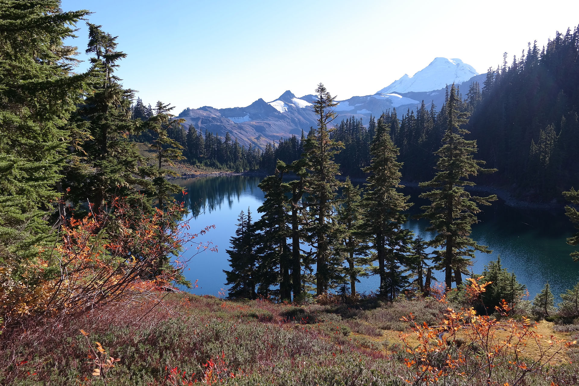
Swamp Lake is only a short half mile down hill from the OHV route, in a large bowl like depression. The name "Swamp" does little justice to the beauty of this lake.
The route winds its way around Swamp Lake past a single campsite beside a Forest Service cabin (once used by snow surveyors), then proceeds down a series of very steep and narrow switchbacks. A small miscalculation may turn into a costly mistake. Soon Miningtown Meadow will be in view, and then Dinkey Creek, which will end the rough section of road. Less than a mile is the gate and turn-off to the Dinkey Lakes Trailhead.
The OHV route turns into a rough, passenger car road and gently winds its remaining two miles to the gate at the west end of the OHV route where it intersects with a main logging road 9S10.
To return to the Dinkey Creek Ranger Station, turn left onto the gravel road and travel 3 miles to the intersection with GIS09. Turn left again for 7 miles to the Dinkey Creek Road. Turn left, Dinkey Ranger Station is 2.8 miles, or turn right at the intersection of 9SO9 which will take you to Highway 168 at Tamarack Ridge.
Camping tips:
There is no camping within 100 feet from lakes, streams, trails and meadows. Campfire permits are free and available at your local Forest Service office. A campfire permit is required for: wood fires, charcoal fires or portable gas stoves.
If you pack it in, please pack it out. Keep your forest clean and green.

